Take a photo of a barcode or cover

240 pages • first pub 1766 (view editions)
ISBN/UID: 9781909686731
Format: Paperback
Language: English
Publisher: Windgather Press
Edition Pub Date: Not specified

Description
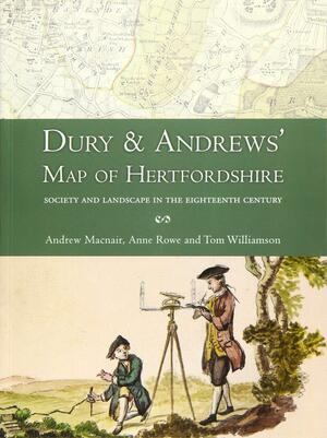
For well over two centuries, from the time of Elizabeth I to the late 18th century, the county was the basic unit for mapping in Britain and the period witnessed several episodes of comprehensive map making. The map which forms the subject of this...
Community Reviews

Content Warnings


240 pages • first pub 1766 (view editions)
ISBN/UID: 9781909686731
Format: Paperback
Language: English
Publisher: Windgather Press
Edition Pub Date: Not specified

Description
For well over two centuries, from the time of Elizabeth I to the late 18th century, the county was the basic unit for mapping in Britain and the period witnessed several episodes of comprehensive map making. The map which forms the subject of this...
Community Reviews

Content Warnings
